6 comment(s) posted
Add a comment
Print report


Comments (most recent towards the top):
2023-03-02 at 16:09 - comment by aqua toque
Thanks for pointing that out Roger. Knowing this will save me copious keystrokes down the road and help avoid confusion here.
2023-03-02 at 09:12 - comment by SkierRoger
Great post, aqua toque. Keep those turns coming...
By the way, I looked at my Acronyms page (under Resources).
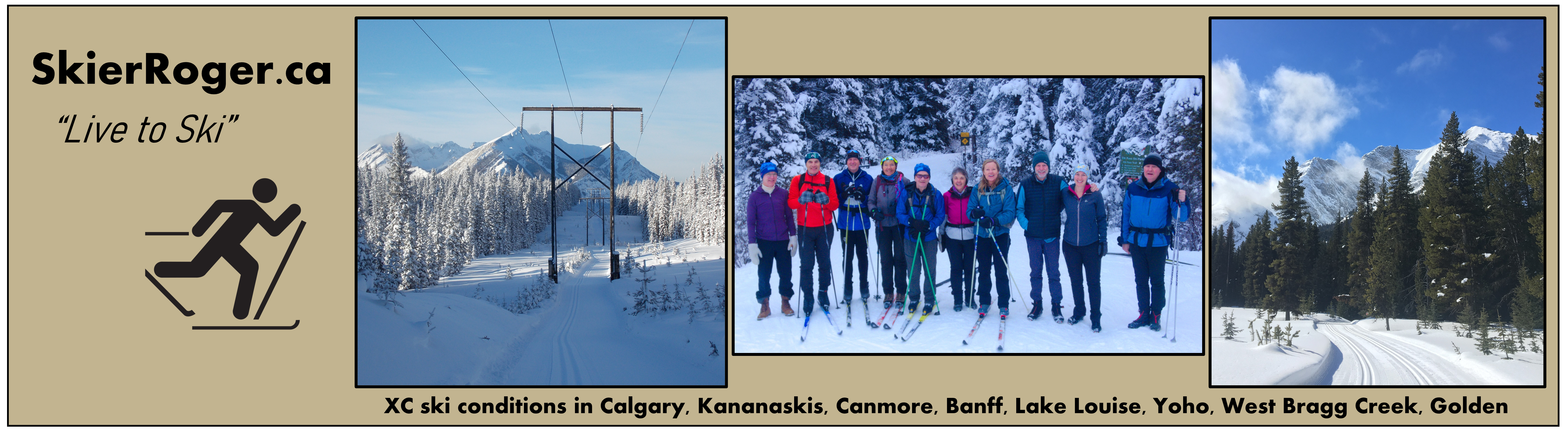
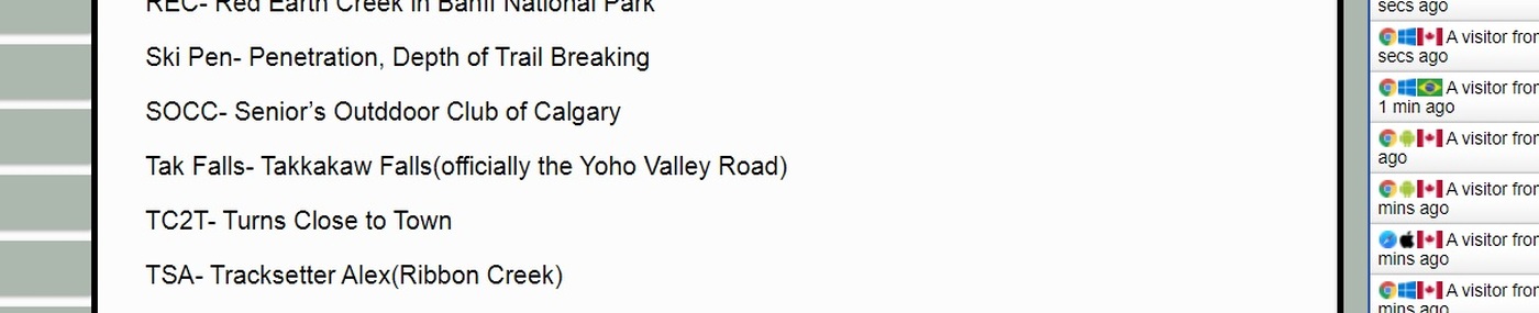
https://www.skierroger.ca/index.php?content=acronyms
Indeed TC2T is there. Your eye must have missed it. However, I did notice one problem that has since been corrected:
TSJ- Tracksetter Jeff(Ribbon Creek) has now been converted to
TSA- Tracksetter Alex(Ribbon Creek)
2023-03-02 at 08:46 - comment by aqua toque
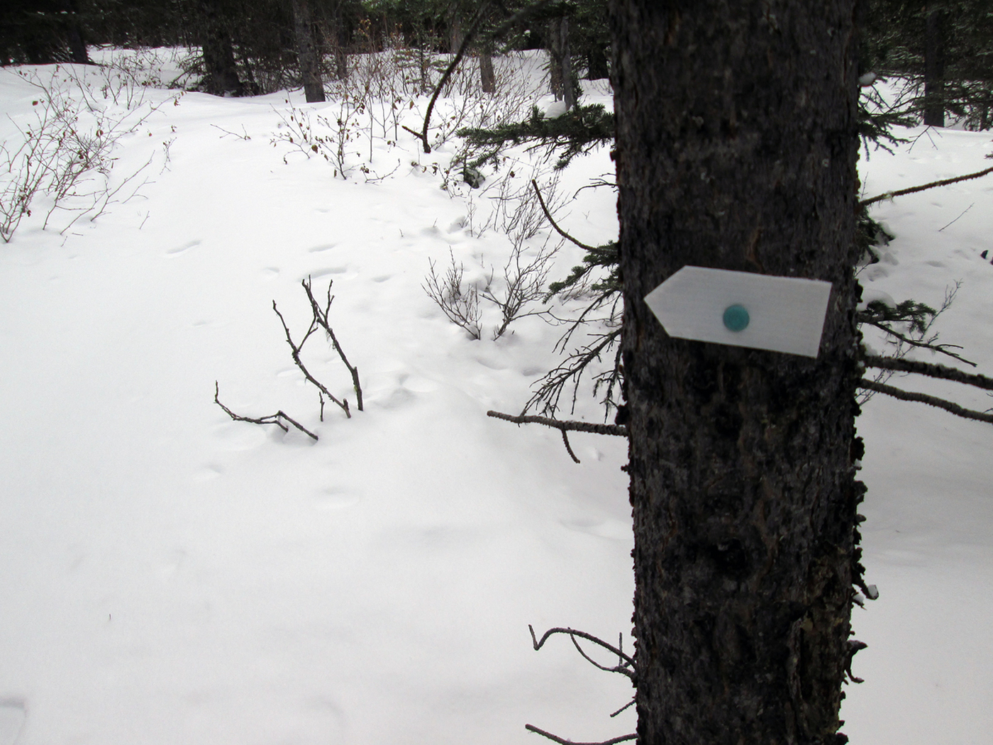
Helen, that's an aqua tack used by whoever put up those little plastic arrows on the summer trail. They probably stole it from me! I better go count my tacks.
2023-03-02 at 08:35 - comment by Helen Read
Well thank your daughter for leaving her GoPro behind; that video made my morning and the music was even in tune with my "aqua tooth" hearing aids. Was the aqua circle on the sign something you left for the rest of us to follow? As for the acronyms, well......perhaps leave us just being challenged with WORDLE.
2023-03-02 at 08:20 - comment by aqua toque
Hey, it's what I do!
2023-03-02 at 07:33 - comment by SteveR
The secret's out, now EVERYBODY is going to go there!
Rainy Day with a little TC2T
Report Submitted by aqua toque
(trip) Date: Tuesday Feb 28, 2023
Submitted: Thursday Mar 02, 2023 at 04:51
Participants:
aqua toque
Discussion:
In case you missed my report earlier this season, TC2T = turns close to town. My goal is to find backcountry turns where the access trailhead is not more than a 15 min drive from my humble abode near the charming hamlet of Bragg Creek, AB.
-----------------------
(Rog, TC2T seems to be missing from the list of acronyms on the site. I trust this is an oversight that will be rectified at your earliest convenience. TIA (thanks in advance)).
-----------------------
On Feb 28 I skied up Hwy 66 from the winter gate to a large pullout that folks use for parking when checking out Rainy Creek Falls in the summer. My goal was to ascend a foothill on that side of the road and have a look over and beyond to the South.
Getting across the gully in the vicinity of the falls was a bit of a thrash but beyond that travel up through the trees was no problem. I actually picked up a summer trail at one point which I believe is referred to as the Mustang Hills or Rainy Summit route. Good vistas were revealed at the wind swept top of the hill. Powderface Ridge is just acrosss the street and huge cutblocks with decent looking slopes exist in the other direction but the aspect of these does not look particularly conducive to good snow (sun/wind).
For this outing I was on heavy-duty 4wd AT gear (with full-length fur for the climb). Skiing down through the trees was good fun on this rig. I eked out a few turns in the trees and some on the highway -- not a lot but enough to record in the logbook.
Note: Bonus 2 min video included with this report (my daughter left her gopro when she went off to college).
Total distance: 10.00 Km
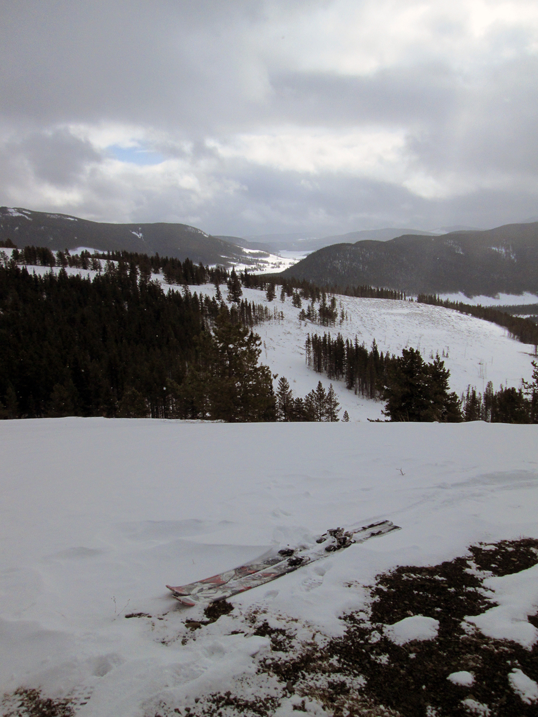 View from top of hill to the South.
 oh...OK.
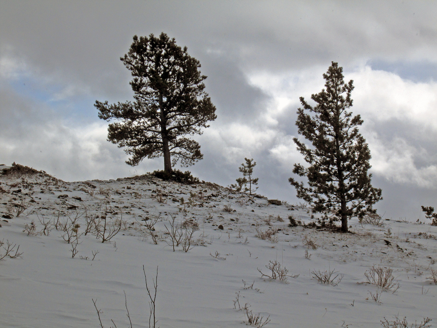 Trees at the top.
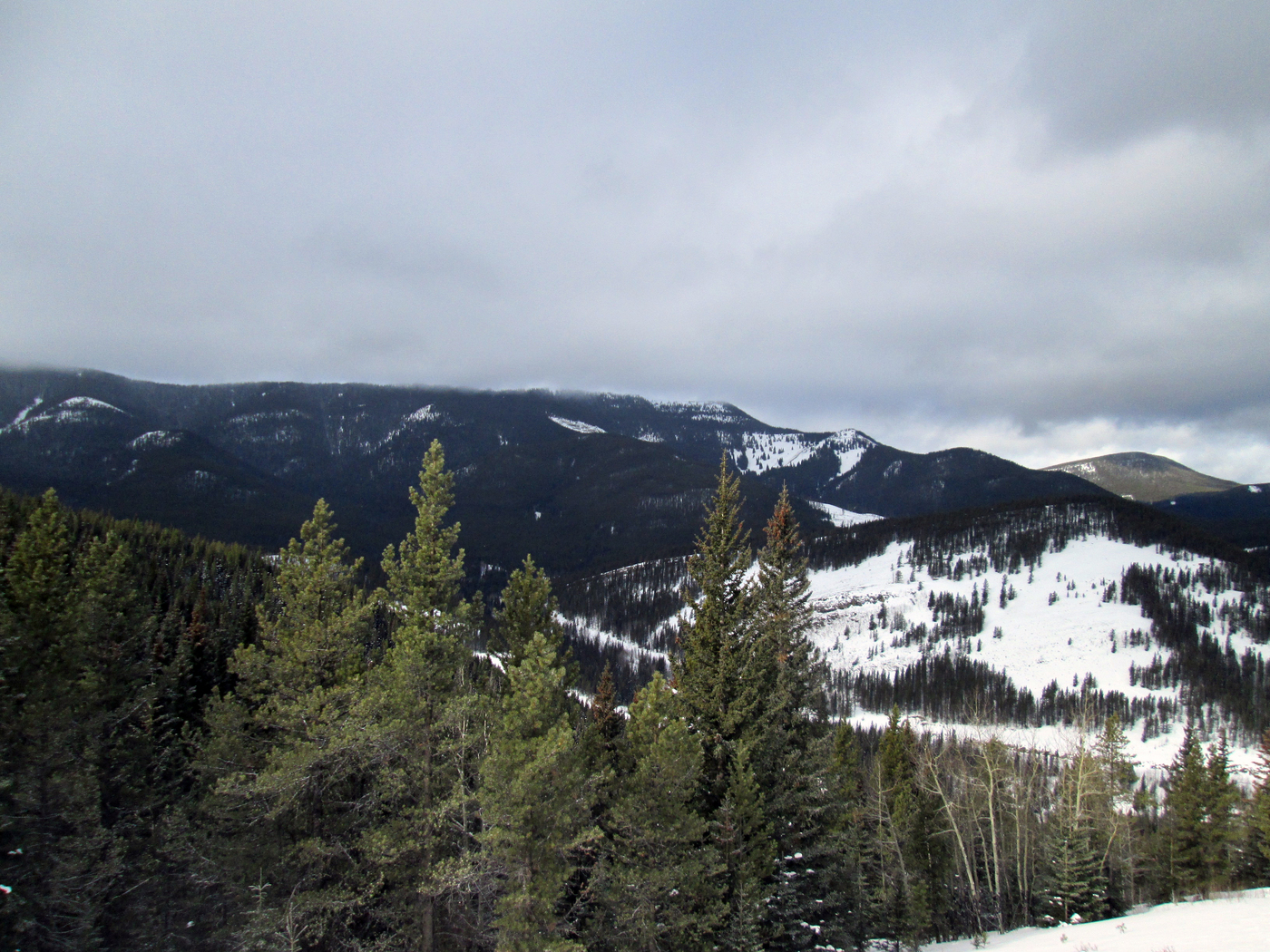 NEOPFR (North End Of Powderface Ridge).
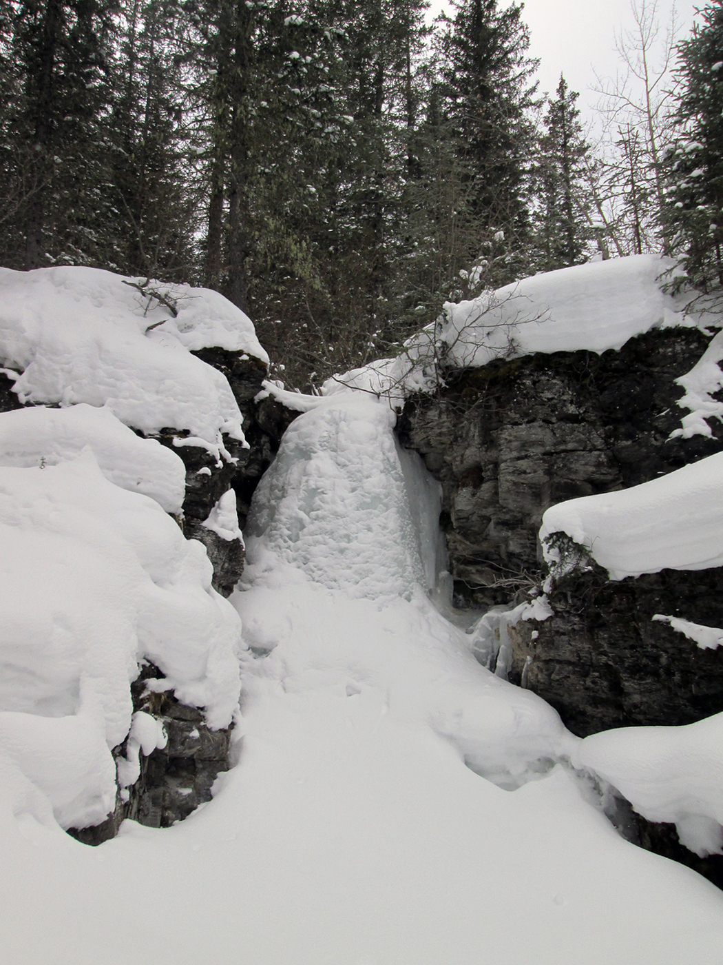 Rainy Creek Falls.
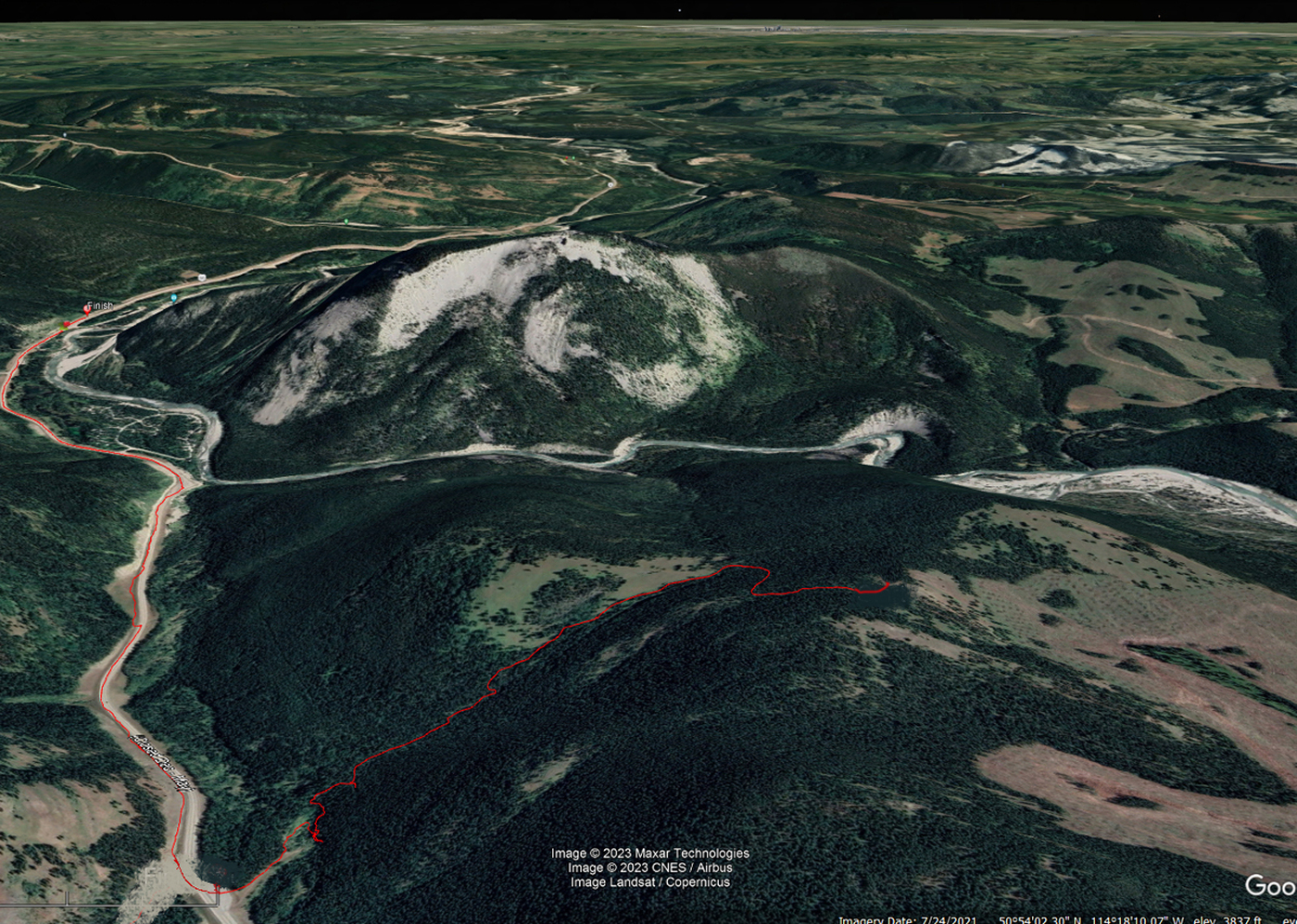 teh route.
Bonus Video (2 min)
|