3 comment(s) posted
Add a comment
Print report


Comments (most recent towards the top):
2023-03-07 at 00:35 - comment by MaSid
Never en route, near the end, with a view, just before the turns.
2023-03-06 at 21:26 - comment by aqua toque
OK, but we're not stopping to build snowfas!
timbester telusdotnet
2023-03-06 at 18:17 - comment by MaSid
That’s and easy one AT: yes! I’m in, even have a different colour hat and everything.
TC2T Recon -- Elbow River
Report Submitted by aqua toque
(trip) Date: Sunday Mar 05, 2023
Submitted: Monday Mar 06, 2023 at 16:32
Participants:
aqua toque
Discussion:
On Sunday I set off to checked out access to a big run in the Elbow Valley on which I had done turns last season. My route followed the Elbow River from the vicinity of the Beaver Flats campground on hwy 66 upstream to near where Quirk Creek comes in.
For a good part of the trip I was able to ski along the river's ice shelf but had to deke into the trees here and there (there's a summer trail but it seems to have a lot of big up and down). The crux of access to the run is getting across the river. Not much in the way of ice bridges this year where needed but I did find a sketchy specimen which held up. The bushwacking heading away from the river and towards the run is not too bad but there are some micro terrain features to navigate.
With trailbreaking and reacquainting myself with the route it ended up taking me 3 hrs to get close to the run. The weather started turning nasty around this time and I was feeling physically and emotionally weary. Didn't feel like climbing for another hour so I decided to bail. I'll probably go back in the near future while my track is there. Any local yokels interested?
Travel along the ice shelf was so aesthetically pleasing that I was inspired to make another 2min gopro video. Besides, I figure I'd better make hay while the sun shines because when my daughter finds out I'm famous she'll probably want her gopro back.
Total distance: 10.00 Km
 Ice bridge.
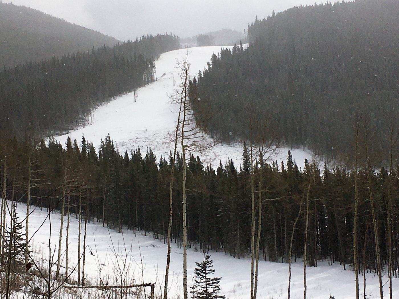 View of the bottom of the run from my turn around point. Lots more run above as it curves around to the right.
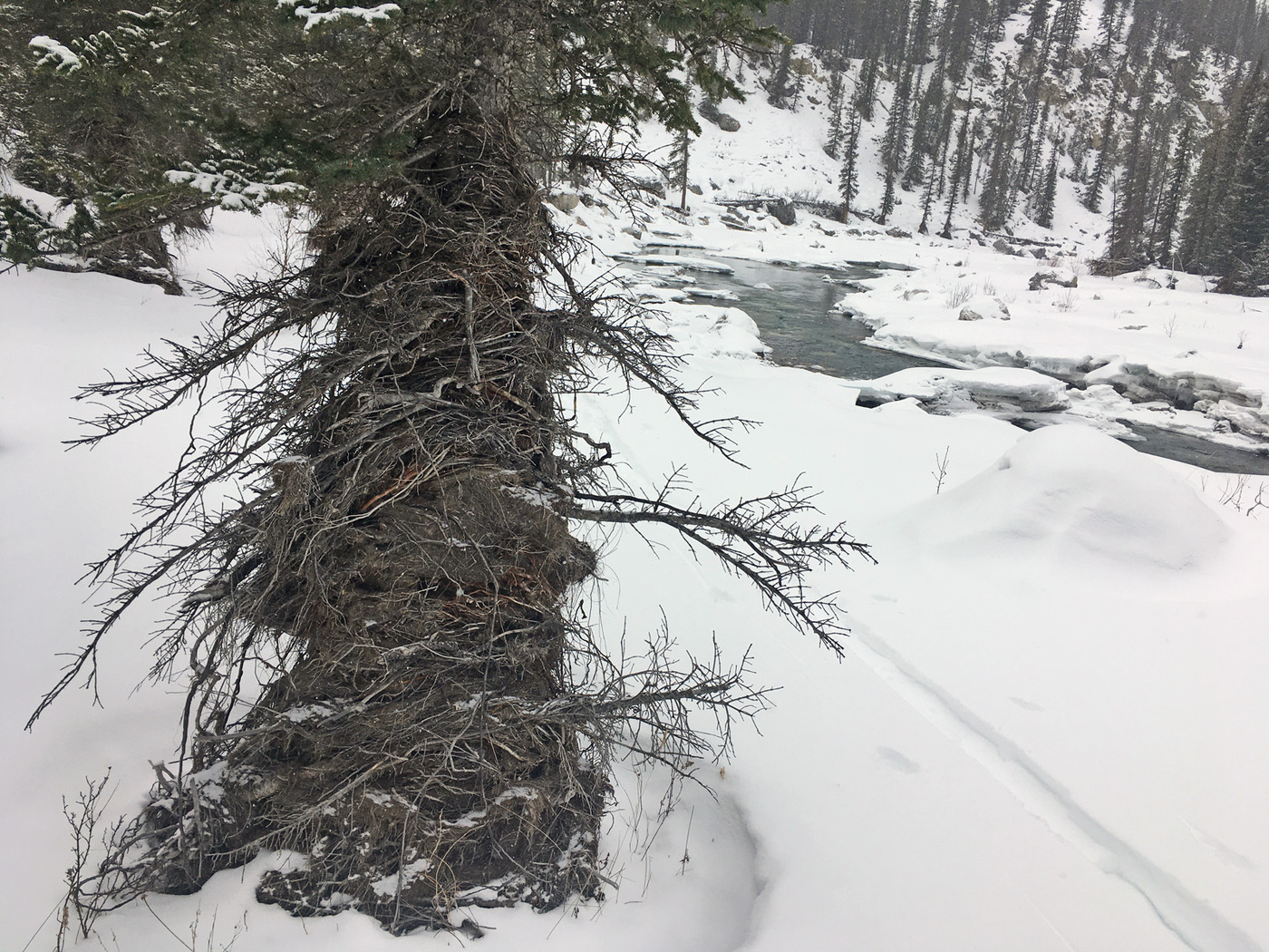 This is interesting. Lots of debris wrapped around trees on the banks. I would say it reaches up a good 20ft above river level. Left over from 2013 I suppose.
 View of run from 66 taken a couple weeks ago.
>>Ski run in mirror is NOT as close as it appears.<<
Ice Bridge:The Movie
|