11 comment(s) posted
Add a comment
Print report


Comments (most recent towards the top):
2024-04-05 at 21:33 - comment by Little Bs
Aqua Toque - PinkVision™ works best in low contrast situations. It should work for badger tracks in the snow, but we don't know if it works on badgers themselves!
2024-04-05 at 21:22 - comment by Little Bs
Ulrikeski - We did create a GPX track for the route we intended to take. As for finding Tobermory Cabin, our plan was to follow Tobermory Creek to the Forest Service Road and then follow the road to the Cabin. As it turned out, the Cabin just appeared in front of us about 10m before we reached the road.
2024-04-05 at 21:10 - comment by Little Bs
MaSid - Although the hydroline route from Elk Lakes to Middle Elk Pass is relatively easy, we find it incredibly boring. The Elkan Creek route is much more interesting even though it involves a lot of trail breaking. And the shade resulted in more sticky snow, but nowhere as bad as it was in Tonermory Creek. You are spot on that our trip time was 7 hours, but that was our moving time! Dad had expected about 6 hours moving time, but the sticky snow slowed us down considerably.
2024-04-05 at 16:45 - comment by aqua toque
Wow! Big day Little B's!
Do PinkVision™ goggles work for badger?
2024-04-05 at 16:38 - comment by Diana Piggott
What a fantastic adventure, and tough!! You seem to be a glutton for punishment, but the rewards are great.
Thank you for posting :-)
2024-04-05 at 15:48 - comment by MaSid
Ulrike: the Tobermory Creek Cabin is pretty much right beside the Forest Service Road at the base of the ridge near where the creek exists the valley towards the Elk River. Unlike some other cabins, hard to miss. Can be driven to in summer.
2024-04-05 at 14:05 - comment by ulrikeski
Wow, what an interesting ski exploration. Well narrated and well navigated. Fun to read. Did you have a gpx track to find that Tobermory cabin?
2024-04-05 at 13:29 - comment by SkierRoger
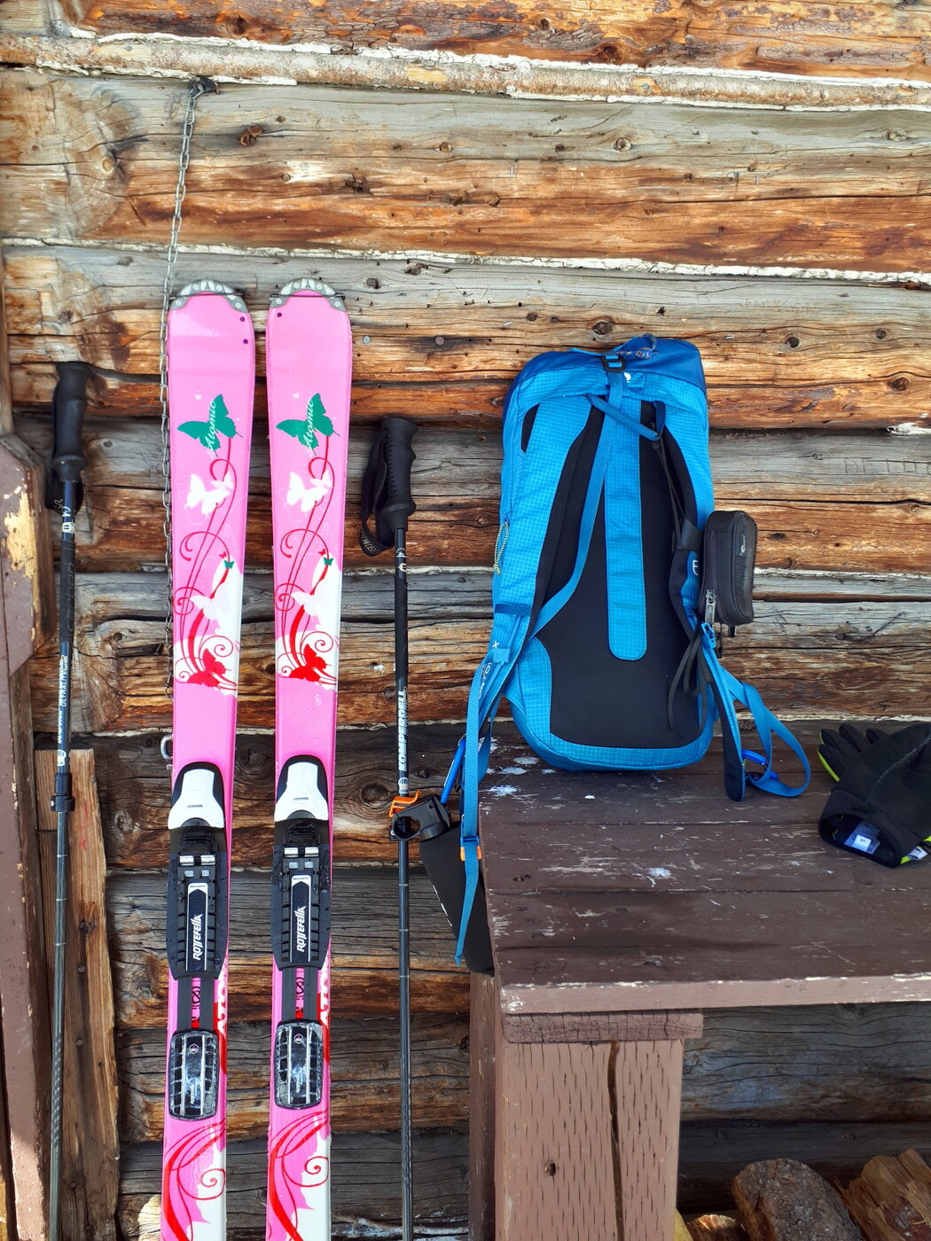
Just love the look of the Tobermory cabin. Such a humble abode for those pink skis.
2024-04-05 at 13:10 - comment by MaSid
Indeed. I’m surprised you took the Elkan Creek route back for added trail breaking (although shadier). Skins required for that compared to the hydroline. Close to 7 hrs all told? When my email is back up and running I’ll send you an updated guidebook blurb for the route (there is a section for partially explored routes), and of course reference your potential first recorded circumnavigation and your contribution to exploring the area.
And P.S. It’s getting about that time that the grizzly comes through east elk pass from B.C. and into Alberta. Perhaps the next good freeze of the snowpack. That may have pointed the way better than an otter (assuming he came all the way up tobermory). They like to be efficient, all business, no play.
Picture taken on April 16.
2024-04-05 at 12:46 - comment by Little Bs
MaSid - I think you posted your question about the road route back to elk lakes before we finished posting Part 2 of our report. I think our completed report answers your question.
2024-04-05 at 12:41 - comment by MaSid
Well done Mike. Pretty much as expected: some stickiness, more difficult travel lower down (narrower, steeper sides, drainages, deadfall) and some horse trail options. How was the road route back to elk lakes, an old snowmobile track at least?
The Little B's, the Three Elks, and Tobermory Cabin! (Part 2)
Report Submitted by Little Bs
(trip) Date: Monday Apr 01, 2024
Submitted: Friday Apr 05, 2024 at 12:22
Participants:
The Little B's and Dad (Mike W)
Discussion:
Our story continues from Part 1: More photos of Tobermory Cabin:
Total distance: 30.90 Km

Our next destination was the Elk Lakes Cabin, about 6km to the NW, along the Forestry Service Road. Travel was easy on top of the buried snowmobile tracks, with no sticking in the sun.
 FTST, Follow The Snowmobile Tracks, to Elk Lakes Cabin
 The long treed ridge is what we named Tobermory Ridge, with E Elk Pass and Tobermory Creek hidden behind. The "normal" route from East to West Elk Pass goes over Tobermory Ridge and through the cutblock at the left of the photo. The snowy alpine ridge behind is the Elk Range.
 Mt. Fox behind the snowmobile tracks with Mt. Foch behind it and a bit to the left. Mt. Elkan is left of centre and Mt. Joffre, the highest peak in the area, is further left in the far background.
We were greeted by a group of skis upon our arrival at Elk Lakes Cabin. Mainly narrow track skis, but also a few AT (All-Terrain) skis pulling Chariots. They all crowded around as we related our exciting tale of our exploits that day. In the meantime Dad refilled his water bottle and we were soon on our way. In the excitement, we forgot to take a photo of the Cabin! But we did pay attention to a poster on the Park Notice Board about wolverines. We love wolverines!

From Elk Lakes Cabin we headed north toward W Elk Pass. But instead of following the hydroline or service road, we broke trail up the Lower Elk Lake hiking trail that runs along the west bank of Elkan Creek. As we climbed up, the bank became steeper and deeper, with the valley turning into a canyon.
 Elkan Creek canyon
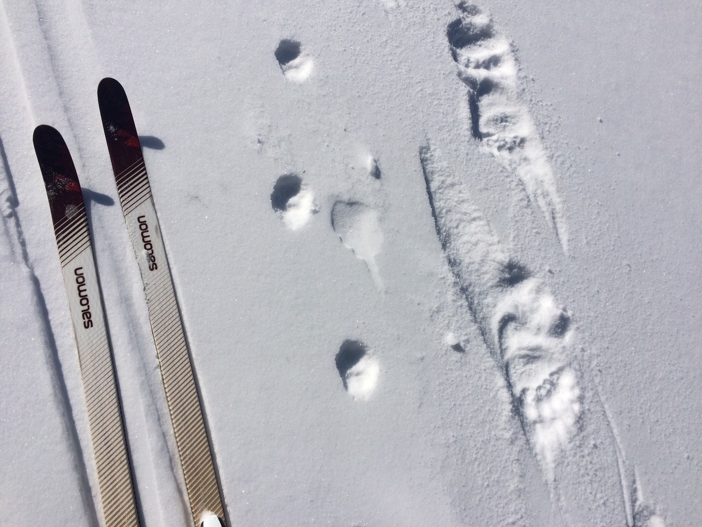
As we gained elevation the canyon opened up and we entered meadows south of W Elk Pass. Then we saw them! Wolverine tracks!
 No, the wolverine didn't drop a glove. Dad put a glove on the snow for size comparison.
Dad had difficulty getting a good close-up photo of the tracks, so we used our PinkVision(TM) to improve the contrast.
 PinkVision(TM) photo of the wolverine tracks.
We followed the tracks for a while, but had to leave them as they headed toward Fox Lake, away from our route. Shortly after, we reached W Elk Pass where we joined an existing ski track to the Elk Pass trail and a quick descent back to the car. What a glorious day!
 Our route
|